Northern Cape Province South Africa Bilevel Elevation Map Lakes Rivers —  Fotos de Stock

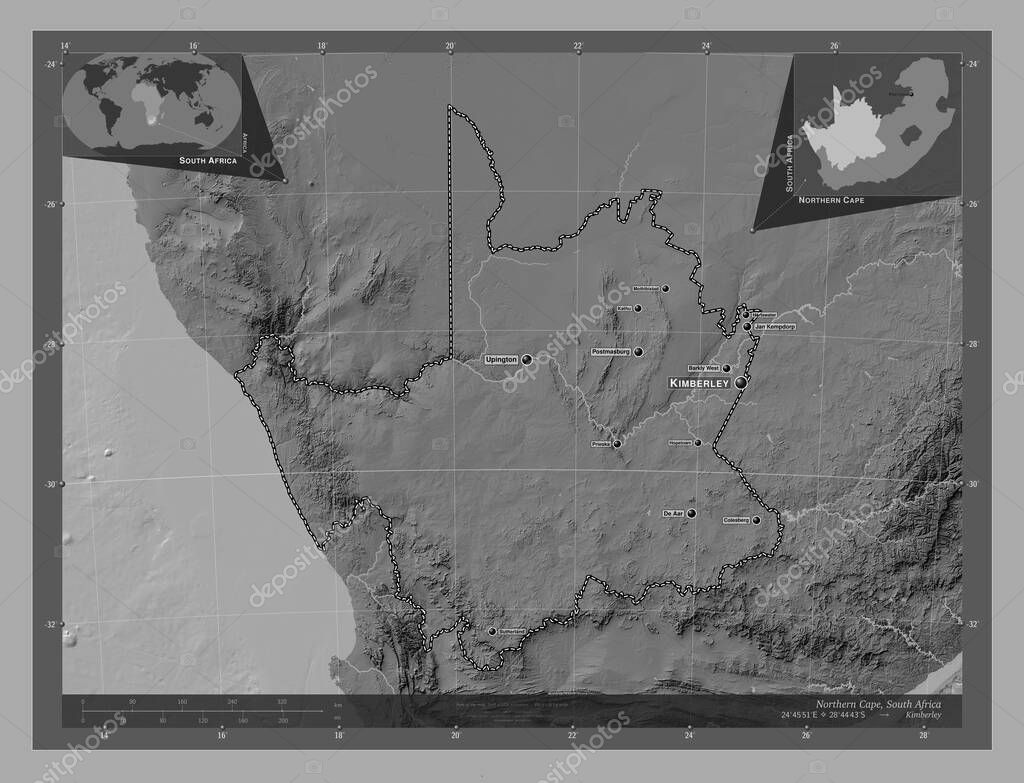
Fotos de Northern Cape, province of South Africa. Bilevel elevation map with lakes and rivers. Locations and names of major cities of the region. Corner auxiliary location maps — Imagen de stock

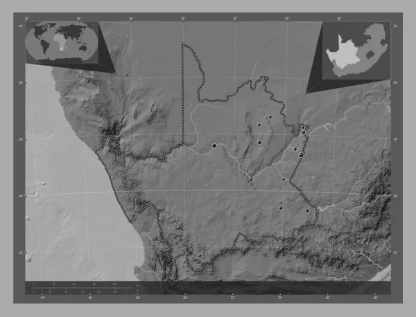
Northern Cape, province of South Africa. Bilevel elevation map with lakes and rivers. Locations and names of major cities of the region. Corner auxiliary location maps

 — Foto por Yarr65

Misma serie:

Northern Cape, province of South Africa. Bilevel elevation map with lakes and rivers. Locations of major cities of the region. Corner auxiliary location maps
Northern Cape Province South Africa Bilevel Elevation Map Lakes Rivers —  Fotos de Stock
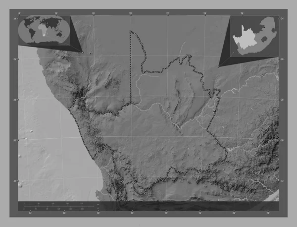
Northern Cape, province of South Africa. Bilevel elevation map with lakes and rivers. Corner auxiliary location maps
Northern Cape Province South Africa Bilevel Elevation Map Lakes Rivers —  Fotos de Stock
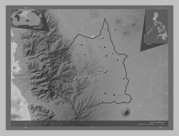
Tarlac, province of Philippines. Grayscale elevation map with lakes and rivers. Locations and names of major cities of the region. Corner auxiliary location maps
Tarlac Province Philippines Grayscale Elevation Map Lakes Rivers Locations Names —  Fotos de Stock
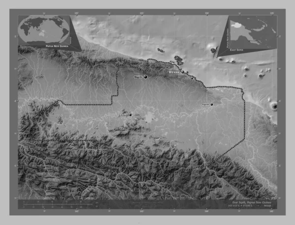
East Sepik, province of Papua New Guinea. Grayscale elevation map with lakes and rivers. Locations and names of major cities of the region. Corner auxiliary location maps
East Sepik Province Papua New Guinea Grayscale Elevation Map Lakes —  Fotos de Stock
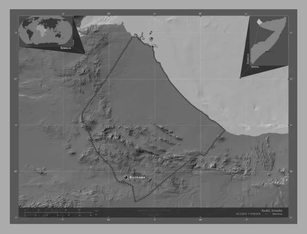
Awdal, region of Somalia. Bilevel elevation map with lakes and rivers. Locations and names of major cities of the region. Corner auxiliary location maps
Awdal Region Somalia Bilevel Elevation Map Lakes Rivers Locations Names —  Fotos de Stock
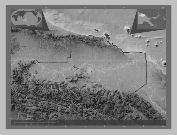
East Sepik, province of Papua New Guinea. Grayscale elevation map with lakes and rivers. Corner auxiliary location maps
East Sepik Province Papua New Guinea Grayscale Elevation Map Lakes —  Fotos de Stock
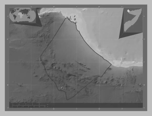
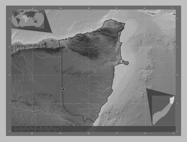
Awdal, region of Somalia. Grayscale elevation map with lakes and rivers. Locations of major cities of the region. Corner auxiliary location maps
Awdal Region Somalia Grayscale Elevation Map Lakes Rivers Locations Major —  Fotos de Stock
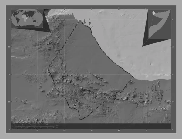
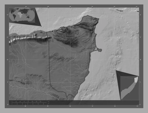
Awdal, region of Somalia. Bilevel elevation map with lakes and rivers. Corner auxiliary location maps
Awdal Region Somalia Bilevel Elevation Map Lakes Rivers Corner Auxiliary —  Fotos de Stock
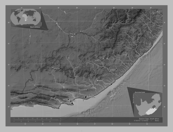
Eastern Cape, province of South Africa. Grayscale elevation map with lakes and rivers. Locations and names of major cities of the region. Corner auxiliary location maps
Eastern Cape Province South Africa Grayscale Elevation Map Lakes Rivers —  Fotos de Stock
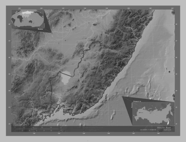
Primor'ye, territory of Russia. Grayscale elevation map with lakes and rivers. Locations and names of major cities of the region. Corner auxiliary location maps
Primor Territory Russia Grayscale Elevation Map Lakes Rivers Locations Names —  Fotos de Stock
Bari, region of Somalia Mainland. Grayscale elevation map with lakes and rivers. Locations of major cities of the region. Corner auxiliary location maps
Bari Region Somalia Mainland Grayscale Elevation Map Lakes Rivers Locations —  Fotos de Stock
Bari, region of Somalia Mainland. Bilevel elevation map with lakes and rivers. Corner auxiliary location maps
Bari Region Somalia Mainland Bilevel Elevation Map Lakes Rivers Corner —  Fotos de Stock
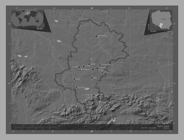
Slaskie, voivodeship|province of Poland. Bilevel elevation map with lakes and rivers. Locations and names of major cities of the region. Corner auxiliary location maps
Slaskie Voivodeship Province Poland Bilevel Elevation Map Lakes Rivers Locations —  Fotos de Stock
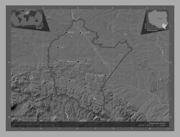
Podkarpackie, voivodeship|province of Poland. Bilevel elevation map with lakes and rivers. Locations and names of major cities of the region. Corner auxiliary location maps
Podkarpackie Voivodeship Province Poland Bilevel Elevation Map Lakes Rivers Locations —  Fotos de Stock
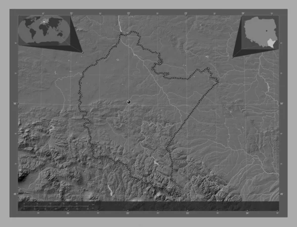
Podkarpackie, voivodeship|province of Poland. Bilevel elevation map with lakes and rivers. Corner auxiliary location maps
Podkarpackie Voivodeship Province Poland Bilevel Elevation Map Lakes Rivers Corner —  Fotos de Stock
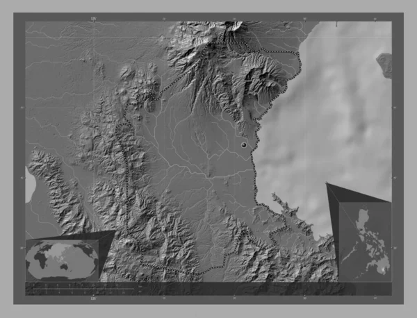
Davao del Sur, province of Philippines. Bilevel elevation map with lakes and rivers. Corner auxiliary location maps
Davao Del Sur Province Philippines Bilevel Elevation Map Lakes Rivers —  Fotos de Stock

Información de uso

Puede usar esta foto libre de derechos "Northern Cape, province of South Africa. Bilevel elevation map with lakes and rivers. Locations and names of major cities of the region. Corner auxiliary location maps" para fines personales y comerciales de acuerdo con la Licencia Standard o Extended. La licencia Standard cubre la mayoría de los casos de uso, incluida la publicidad, los diseños de interfaz de usuario, el empaque del producto, y permite hasta 500,000 copias impresas. La Licencia Extended permite todos los casos de uso bajo la licencia Standard con derechos de impresión ilimitados y le permite usar las imágenes descargadas para mercancía, reventa de productos o distribución gratuita.

Puede comprar esta foto de stock y descargarla en alta resolución hasta 4930x3770. Fecha de importación: 23 feb 2023