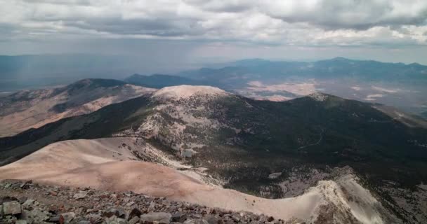
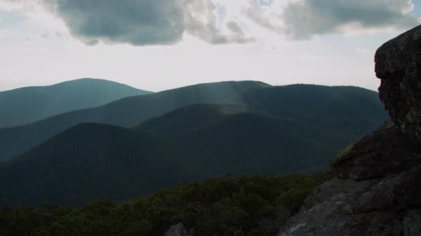
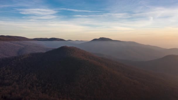
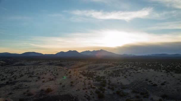
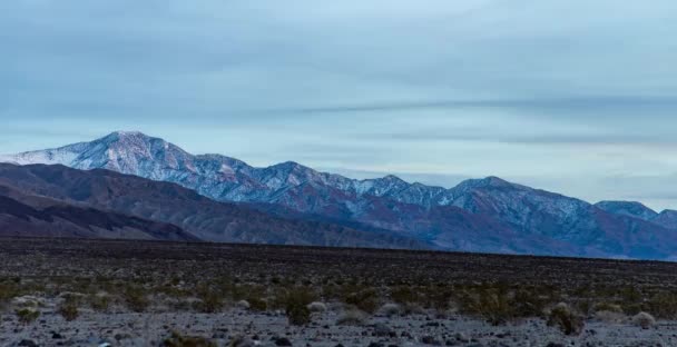
Una toma aérea del Benchmark del mediodía dentro de la Cordillera Sur Nopah al este de Tecopa, CA al amanecer. Charleston Peak se ve en la distancia. - Footage, Video Stock

Una toma aérea del Benchmark del mediodía dentro de la Cordillera Sur Nopah al este de Tecopa, CA al amanecer. Charleston Peak se ve en la distancia.

 — Vídeo por petersilvermanphoto

Misma serie:

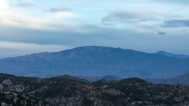
A time-lapse of evening light illuminating Telescope Peak and the Panamint Range, as seen from the South Nopah Range Wilderness in Tecopa, CA.
Time Lapse Evening Light Illuminating Telescope Peak Panamint Range Seen — Vídeos de Stock
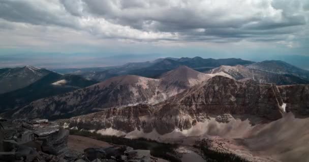
Time-lapse of rain clouds passing over Great Basin National Park as seen from the summit of Wheeler Peak facing north. Located near Baker, Nevada. Summer season.
Time Lapse Rain Clouds Passing Great Basin National Park Seen — Vídeos de Stock
A time-lapse of Mica Mountain and Rincon Peak at sunset as seen from the Geology Vista Point on the General Hitchcock Highway on the slopes of Mt. Lemmon east of Tucson, Arizona.
Time Lapse Mica Mountain Rincon Peak Sunset Seen Geology Vista — Vídeos de Stock
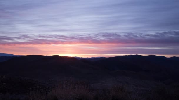
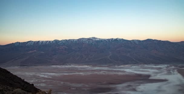
A time lapse of sunrise illuminating the Great Basin Ranges of Nevada and Eastern California, as seen from Dante's View in Death Valley National Park, California.
Time Lapse Sunrise Illuminating Great Basin Ranges Nevada Eastern California — Vídeos de Stock
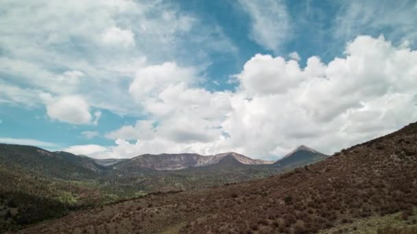
Pyramid Peak and the Snake Mountain Range, located within Great Basin National Park in Nevada. A time-lapse of clouds passing overhead on a summer day, as seen from the Serviceberry Trail
Pyramid Peak Snake Mountain Range Located Great Basin National Park — Vídeos de Stock
A time-lapse of the sun setting behind Cole Mountain and the Appalachian Trail as seen from the summit of Mount Pleasant. Located in the George Washington National Forest in the Blue Ridge Mountains in Amherst County, Virginia.
Time Lapse Sun Setting Cole Mountain Appalachian Trail Seen Summit — Vídeos de Stock
A sunset, nighttime stars and sunrise time lapse from the talus field on the west side of Duncan Knob, in the Massanutten Range, part of the George Washington National Forest in Page County Virginia.
Sunset Nighttime Stars Sunrise Time Lapse Talus Field West Side — Vídeos de Stock
A time lapse of clouds rushing over Porter Ridge and the Appalachian Trail as seen from Spy Rock in the Blue Ridge Mountains in the George Washington National Forest in Nelson County Virginia. The forest is awash with fall colors.
Time Lapse Clouds Rushing Porter Ridge Appalachian Trail Seen Spy — Vídeos de Stock
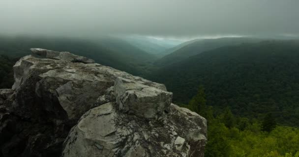
A time-lapse of low clouds sweeping over the Red Creek Valley, as seen from the Rohrbaugh Cliffs in the Dolly Sods Wilderness, part of the Monongahela National Forest in West Virginia.
Time Lapse Low Clouds Sweeping Red Creek Valley Seen Rohrbaugh — Vídeos de Stock
An aerial hyperlapse shot of Big Tom Mountain, which lies within the Rapidan Wildlife Management Area in Syria, VA.
Aerial Hyperlapse Shot Big Tom Mountain Which Lies Rapidan Wildlife — Vídeos de Stock
The sun sets behind the San Francisco Peaks and Humphreys Peak in Flagstaff Arizona, as seen from Doney Mountain in the Coconino National Forest.
Sun Sets San Francisco Peaks Humphreys Peak Flagstaff Arizona Seen — Vídeos de Stock
The Snake Mountain Range in Nevada viewed looking south from the summit of Wheeler Peak in Great Basin National Park. Time-lapse of stormy clouds passing through the sky on a summer day.
Snake Mountain Range Nevada Viewed Looking South Summit Wheeler Peak — Vídeos de Stock
A time lapse of morning sunshine illuminating the Panamint Mountains and Telescope Peak, as seen from Dante's View in Death Valley National Park, California
Time Lapse Morning Sunshine Illuminating Panamint Mountains Telescope Peak Seen — Vídeos de Stock
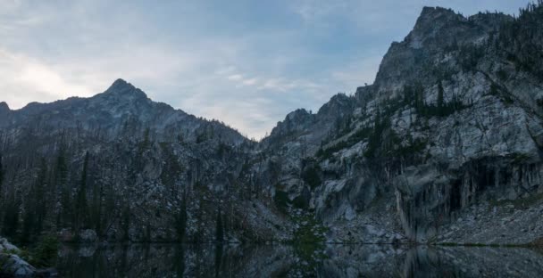
A time-lapse of fog enveloping lower Trail Creek Lake, located in the Sawtooth National Forest in Idaho.
Time Lapse Fog Enveloping Lower Trail Creek Lake Located Sawtooth — Vídeos de Stock
Morning sunshine illuminates the Panamint Mountains and Telescope Peak, as seen from Dante's View in Death Valley National Park, California in a time-lapse.
Morning Sunshine Illuminates Panamint Mountains Telescope Peak Seen Dante View — Vídeos de Stock
A time-lapse of evening light illuminating Telescope Peak and the Panamint Range, as seen from the Panamint Valley.
Time Lapse Evening Light Illuminating Telescope Peak Panamint Range Seen — Vídeos de Stock

Información de uso

Puede usar este video libre de derechos "Una toma aérea del Benchmark del mediodía dentro de la Cordillera Sur Nopah al este de Tecopa, CA al amanecer. Charleston Peak se ve en la distancia." para fines personales y comerciales de acuerdo con la Licencia Estándar. La licencia estándar cubre la mayoría de los casos de uso, incluida la publicidad y los diseños de interfaz de usuario en sitios web y aplicaciones.

Puede comprar este material de archivo y descargarlo en alta resolución hasta 3840x2160.